Where to Find the Lost Cities of L.A.

In any large metropolitan area as sprawling as Los Angeles, you’d expect the map to change a bit over the course of 235 years. As our focus in Southern California has shifted from agricultural to industrial … from gold to oil … from stagecoach passes to railroads to freeways … so too have the town centers and the bedroom communities in and around L.A.
But there are more than just the neighborhoods that became absorbed into other municipalities and yet still retained much of their original character (like Tropico or Garvanza). Some populations just dwindled into nothing, leaving behind a cluster of empty buildings. Some towns saw all but just a few traces of their entire existence just … disappear. Others were eradicated by force. And one even fell into the ocean.
California may be famous for its ghost towns, but you don’t have to travel as far north as Gold Country, Death Valley, or even the Mojave to see one. Here are five great lost cities within arm’s reach (or an hour-long drive) from L.A., and what to look for when you visit.
1. Sunken City (San Pedro)
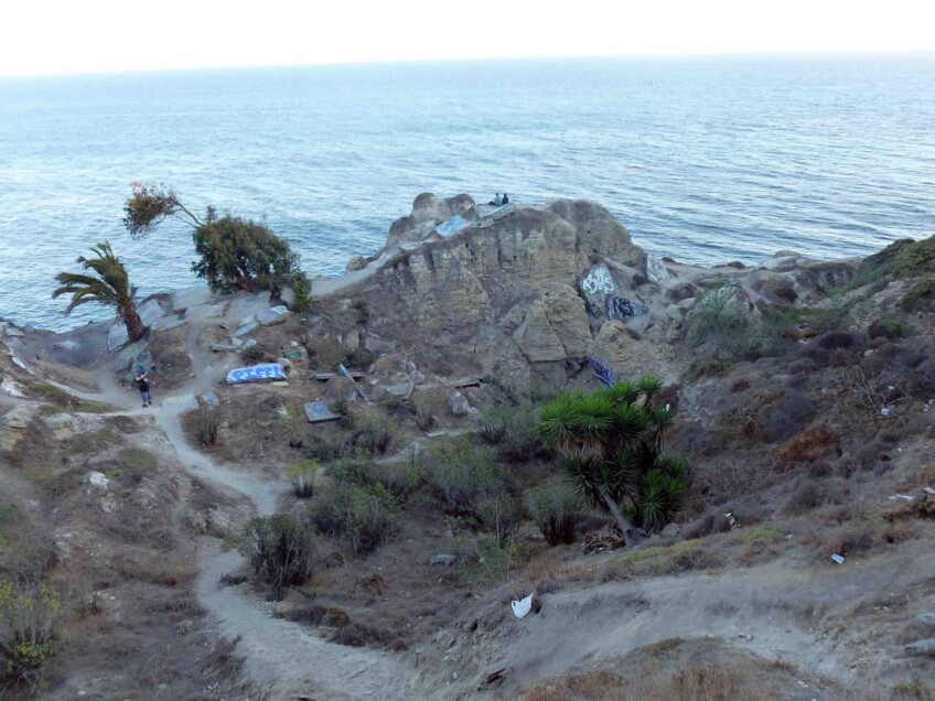
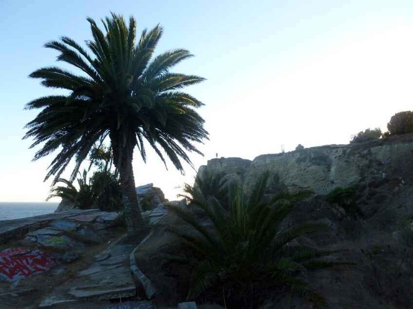
Los Angeles is known for its tremendous and daring architecture, with dwellings often built off the sides of cliffs, cantilevered over hills, and seemingly dangling in mid-air. In fact, many residences with an “ocean view” are teetering along dangerous bluffs – and in one area of San Pedro, the once-inhabited land beyond it is slipping into the ocean. Facing inland, you can see a few houses on the public side of a protective gate that are safe – for now. But on the forbidden side of a locked gate, another community was not so lucky. The flat land that remains looks like an archaeological site of the ancient Roman Empire. Beyond it, you can see how close the city's infrastructure is to the current edge of the cliff, and how it couldn't have been so close to the edge before. The ground appears to have just fallen away – or broken off. And that's exactly what happened to the abandoned portion of the San Pedro shoreline known as “Sunken City,” just east of Point Fermin. In 1929, the land started to slip, and by the 1940s, the slippage was so severe, the city had to fence off the area. Fortunately, when the initial collapse happened, all but two homes were saved (i.e. moved). But sidewalks, roads and foundations crumbled. The city's (former) infrastructure intermingles so closely with the bluffs that they’re indistinguishable from one another. The last big slide incident happened as recently as 2009, when a chunk of land collapsed, sending a dust cloud up in its wake. But in that area, the land is kind of always moving at least a little. Even in the rubble, the surfaces continue to crack and shift. You can currently view the area from the other side of a locked fence, though there’s been talk of opening the ruins up to the public as a park.
Bonus: Pick up a shore trail on Cabrillo Beach by the Cabrillo Beach Bath House to walk past some more ruins, explore some tidepools, and gaze up at Sunken City from down below.
2. Surfridge (Playa del Rey)
Surfridge is a community that fell victim to the accelerated growth of a major metropolitan area and the infrastructural expansion necessary to accommodate its ever-growing population. Originally developed in 1921 as part of a post-World War I building boom, Surfridge (then known as Palisades del Rey) was filled with charming homes and palm tree-lined streets. Back then, the only real competition for the land was by other housing developers. But by the end of the 1920s, despite the Depression, commercial air travel increased and the City of Los Angeles set its sights on 640 acres of land right next to Surfridge for its first municipal airport, Mines Field. Over the decades that followed – especially in the 1950s, in anticipation of the “jet age” – land to be used for additional runways for the expanding airport was at a premium. Even though houses continued to be built in Surfridge without restriction into the 1960s, Surfridge was simply ... in the way. The neighboring airport – which had become LAX – claimed eminent domain and bought most of the homeowners out in the 1960s. The buildings owned by those who refused to sell were condemned. Surfridge was vacated, its residents relocated elsewhere. And then ... nothing. No runways were ever built. The condemned houses stood vacant, subject to vandalism and forced entry. The area attracted transients, and became an eyesore and a safety hazard. So, by 1975, nearly everything was bulldozed. And all that remains in the wake of that demolition from 40 years ago is the skeleton of a city: the paved roads and sidewalks, the stairs that go nowhere, and the street lights that still turn on at night. That is, of course, except the flight patterns overhead.
Bonus: Proceed to the corner of Vista del Mar and Imperial Highway to get a good look at the coastal dune habitat where the endangered El Segundo Blue Butterfly calls home. Bring your binoculars, since the butterflies are literally the size of a thumbnail.


3. Spadra (Pomona)
As part of the Rancho San Jose, Spadra was the first American settlement in the Pomona Valley and became a thriving village in the 1860s. It was settled mostly by poor families who fled the South – giving the townsite its nickname "Monkeytown," since the affluent settlers nearby thought the tradesmen who settled Spadra were just a bunch of monkeys. (You can’t make this stuff up!) The only obvious landmark that’s left of Spadra is the Phillips Mansion, built in 1875 by wealthy rancher and developer Louis Phillips. The mansion served not only as Phillips' private home until his death in 1900, but also as the Spadra post office while Phillips was postmaster. In the 1870s, the Southern Pacific Railroad included a route from L.A. that ran through his Phillips’ ranch in Spadra, giving rise to developments that included a bustling town center with all varieties of small town businesses; but shortly thereafter, the rail route was extended west all the way to Colton in the Inland Empire, therefore bypassing Spadra and sealing its fate. The City of Pomona eventually gobbled it up. Phillips Mansion is only very rarely open for tours or public events as the Historical Society of Pomona Valley works to restore it from earthquake damage and exposure to the elements, but you can visit its exterior (built of red bricks in the classic “haunted mansion” style) anytime.
Bonus: The nearby Spadra Cemetery is notoriously difficult to get into, usually guarded by a locked wrought iron fence. And as it’s located across the train tracks, hidden under the 57 Freeway, Spadra Cemetery can be even more difficult to find. Follow the Historical Society of Pomona Valley for the rare opportunities to tour it.

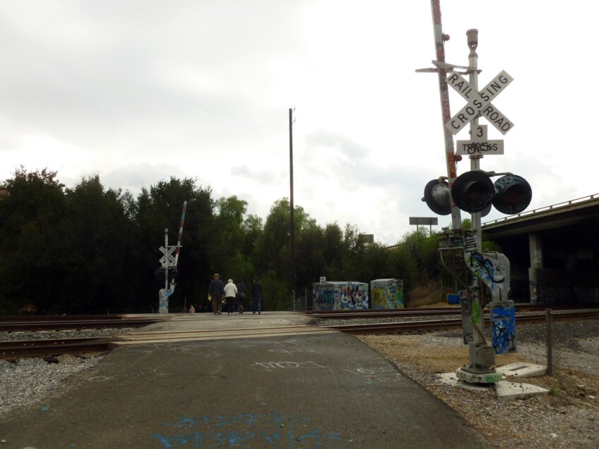
4. Mentryville Santa Clarita)
Mentryville is the first thing you see when you come to Pico Canyon in the Santa Susana Mountains to find the site of California's first commercial oil well – a.k.a. Pico Well No. 4, which struck oil in 1876 after three prior drilling attempts failed. It was named after Charles Mentry, the Pennsylvanian Frenchman oil driller of Star Oil Works Company (which would eventually become Standard Oil and then Chevron). The oil business in Pico Canyon was still going strong by the time that Mentry died of typhoid fever in 1900 – and although it never extended beyond its status as a company town, as many as 26 families lived there, according to the 1910 census. And while the oil boom declined throughout the 1920s and 1930s (when some folks dismantled their houses to take with them when they moved out), Pico No. 4 didn’t actually get capped until 1990 – making it the longest continually operating oil well in the world. You can now visit Mentryville as a historic park and hike a trail through Pico Canyon at the north end of Santa Clarita Woodlands Park. The town site features structures restored by Friends of Mentryville, including a 13-room mansion, a one-room schoolhouse from 1885, and a historic barn. They say that in wet seasons, you can still spot some of that “black gold” seeping out into the creek.
Bonus: The crude oil from Pico Canyon was piped into nearby Newhall (in the area formerly known as Needham Ranch) at the former Pioneer Oil Refinery, a California State Historical Landmark now owned by The City of Santa Clarita and located off Pine Street next to the railroad tracks just north of Gates King Open Space.

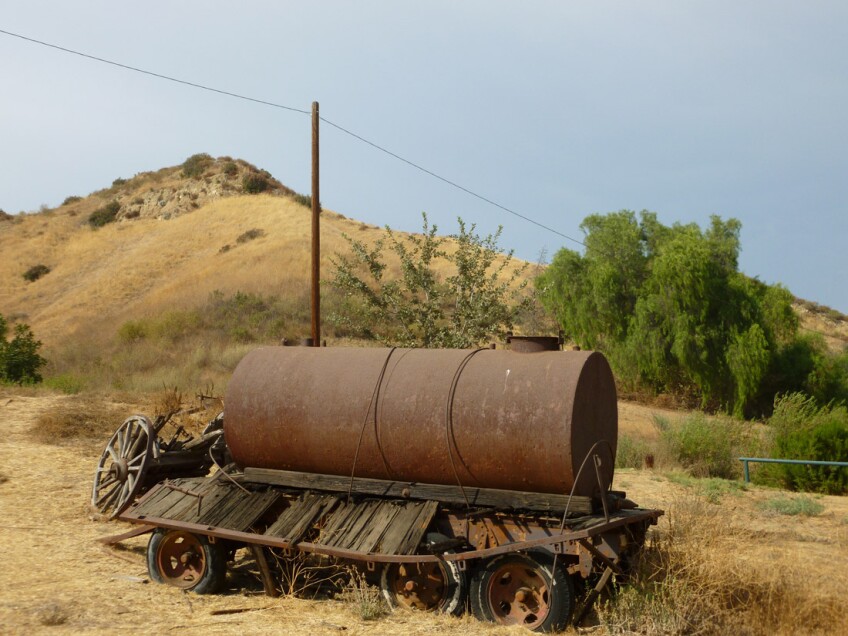
5. Corriganville (Simi Valley)
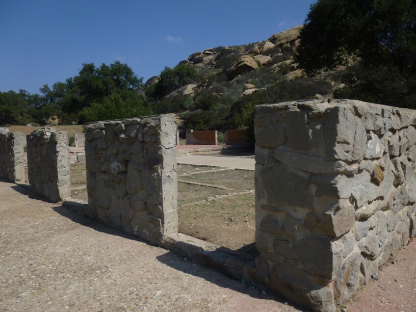
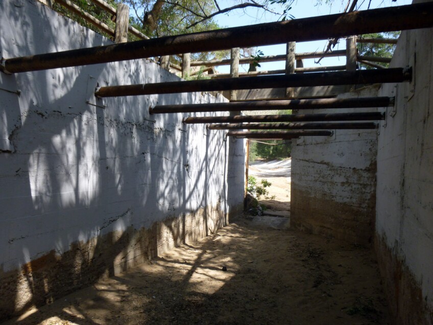
We've lost so many treasures to fire out here in the wild, wild, west. Such a place is Corriganville, the once movie ranch-turned-tourist attraction that’s now a public park just on the other side of the Ventura County. From 1937 to 1966, Corriganville was a movie ranch with western film star Ray "Crash" Corrigan at the helm. In 1970 (at which time it was owned by Bob Hope and known as "Hopeville"), a fire swept through and burned everything to the ground, including its entire Main Street, called “Silvertown”. The conflagration left behind only a few fake brick walls, concrete slabs, and the rock walls that once held the horse stables. Walking through the old Vendetta Village (the first main set on the ranch) – called "Corsican Village" by Ray Corrigan – you reach Fort Apache, a fort built in 1947 for the film of the same name. Like many other parts of the ranch, it was used later for several other productions, including The Adventures of Rin Tin Tin. One of the more distinctive features of Corriganville, just past the original Sherwood Forest from the Robin Hood TV series, is its “Robin Hood Lake,” a concrete-lined pool that depicted the watering hole that “Jungle Jim” would jump into from Stunt Rock. The Jungle Jim underwater scenes were shot from windows cut out of a "camera house," built and hidden under the bridge. Today, you can visit the ruins in the public park version of Corriganville (which is now run by the Rancho Simi Recreation & Park District) to find plenty of sunshine, geology, birds and botany.
Bonus: To complete your experience, grab a drink or a bite to eat at Corrigan’s Steakhouse in Thousand Oaks, which is owned and run by Ray “Crash” Corrigan’s son, Tom.
