Mojave Trails: California's Largest National Monument in Photos


The 1.6 million-acre Mojave Trails National Monument, designated by President Barack Obama in February 2016, is one of six National Monuments in California — out of 27 nationwide and in the Pacific Ocean — slated for an unprecedented and likely illegal review ordered by Donald Trump in April.
Mojave Trails provides a crucial link between two of the California desert’s park treasures. Joshua Tree National Park, just across two lanes of Route 62 on the south, connects Mojave Trails to the Sonoran Desert in southern California and Mexico. And the Mojave National Preserve, across Interstate 40 from Mojave Trails’ northern boundary, links Mojave Trails to a chain of parks, wildernesses, and other protected areas stretching to eastern Utah.
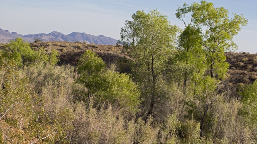
Those linkages are important for the health of America’s desert wildlife, but Mojave Trails National Monument isn’t just about the places it connects to. The Monument’s million-plus acres include a startling diversity of both desert landscapes, and the plants and animals that call those landscapes home.

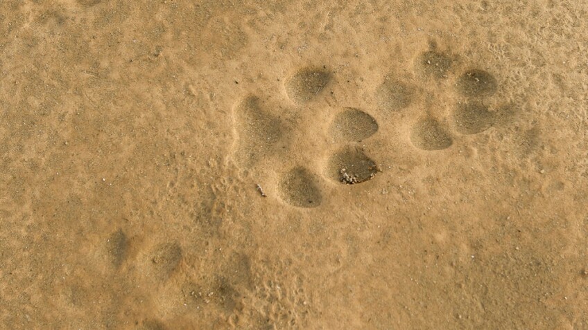
Mojave Trails' habitat connectivity is especially important for one of the California desert's most charismatic species, the desert bighorn sheep. Pneumonia epidemics have battered native sheep populations over the last few years, and linkages make it possible for sheep from nearby mountain ranges to repopulate areas hit by the disease.
Only the luckiest visitors will see bighorn sheep, but easily viewable wildlife in Mojave Trails abounds, from tough and drought-resistant critters like the desert iguana and the coyote...


... to improbably delicate and ephemeral animals that might almost seem, at first glance, out of place in the desert.

That wildlife diversity reflects the wildly diverse landscapes to be found in Mojave Trails National Monument. The varied landscapes should come as no surprise, given the immense scale of Mojave Trails. The Monument envelops the entire southern half of the immense Mojave National Preserve, stretching from within a few minutes' drive of Barstow to the Nevada line near Laughlin — about 95 miles as the raven flies. In its midpoint, the Monument runs around 50 miles north to south. That breadth encompasses a huge amount of the central Mojave's wildly varied geology. There are the forbidding volcanic plains surrounding the Amboy and Pisgah craters in the Monument's western reaches:


These are some of the driest landscapes on Earth. Bagdad, north of Amboy, holds the U.S. record for the longest recorded period with no precipitation: from October 3, 1912 to November 8, 1914, or 767 days. But not far away, the Mojave Trails National Monument boasts surprising oases. There's Afton Canyon, where the usually underground Mojave River comes to the surface and flows even in summer:

In the Clipper Mountains to the east, the year-round Bonanza Spring feeds a half-mile-long riparian corridor with towering willows and cottonwoods.

There are no similar wetlands within a thousand square miles of Bonanza Spring, and the tadpole-filled bosque is a crucial stopover for migrating birds.
And while aficionados of the California desert are often compelled to point out that the desert isn't all sand dunes, Mojave Trails has got some of those too:

From a distance, the Mojave's sand dunes may look lifeless, but they abound with living things well-adapted to the demanding dune environment, such as the Mojave fringe-toed lizard.

Given a good winter rain or two, the dunes of Mojave Trails National Monument can prove just how far from lifeless they really are.

I readily admit to being biased: I can see the Mojave Trails National Monument from my front door. It's important to me. But it would seem that no matter your opinion on California's largest National Monument, the review process deserves your voice.
The Department of the Interior is seeking public comment on the benefits any or all of the national monuments on the chopping block. You can submit comments through http://www.regulations.gov by entering “DOI-2017-0002” in the Search bar and clicking “Search,” or send them by mail to the following address:
Monument Review, MS-1530
U.S. Department of the Interior
1849 C Street NW
Washington, D.C. 20240
The deadline for comments is June 11 for all monuments other than Bears Ears: those comments are due by May 25.


